Active faults pose earthquake threats
Published on July 4, 2024 at 4:22 PM by Robert Ngwira
Preliminary results of a ground breaking scientific project which was mapping active faults beneath Lake Malawi has revealed the existence of potential earthquacke threats in the northern region.
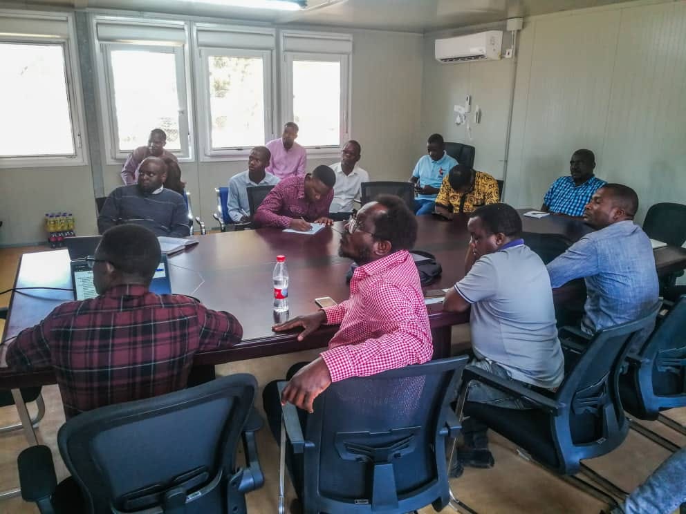
A geophysist from Northern Arizona University, Patrick Chindandali, said this Wednesday when he presented results of the mapping exercise to Karonga District Environmental Subcomittee (DESC) members.
The survey was conducted from January to February, 2024 by the Syracuse University and Northern Arizona University from the United States of America, in conjunction with the Malawi government.
“Karonga lies within the East Africa Rift System which already poses an earthquake threat and our survey has revealed more active faults beneath Lake Malawi which also has the capability to cause devastating earthquakes,” Chindandali said.
“The study was modelling how some faults may be capable of generating large earthquakes and their recurrence intervals, for example, we have the Livingston border fault which has the potential to cause an 8.5 magnitude earthquake,” he added.
He advised Karonga District Council to incorporate the information received into seismic hazard maps which can have signifcant implications for building codes and infrastructure planning.
“This can be used to save lives and property especially in vulnerable areas like Karonga which experienced a series of damaging earthquakes in 2009,” said Chindandali.
District Environmental Officer for Karonga, Khumbo Mbeye, said the results of the survey will help the district in preparing for earthquakes which are a threat.
“In 2009 an earthquake hit Karonga, killing people and damaging property in the process. The information provided will guide future developments, focusing growth on safer locations, away from the hazardous areas.
“It will also help the Council encourage the use of construction materials that will enhance seismic resilience,” Mbeye said.

